Industry-Specific Benefits of Drone
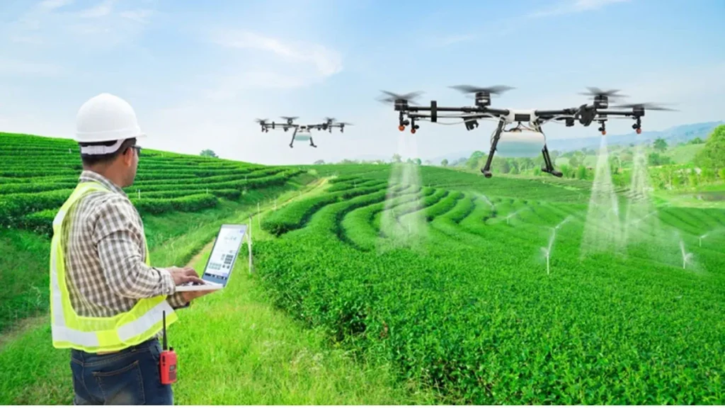
Agriculture
Crop monitoring & health assessment (via NDVI imaging)
Precision spraying of fertilizers or pesticides
Field mapping for irrigation planning
Create accurate maps of fields using GPS and cameras.
Helps in planning irrigation, planting, and soil analysis.
Identify dry or overwatered areas with thermal sensors.
Improve irrigation efficiency and reduce water waste.
Livestock tracking
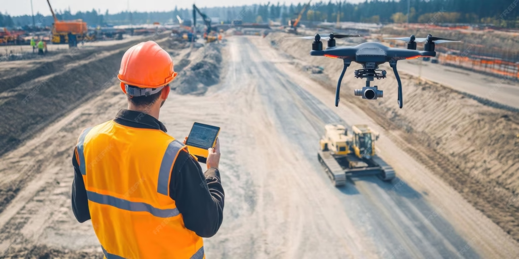
Construction & Infrastructure
Aerial site surveys and 3D mapping,
Project monitoring and documentation
Structural inspection of bridges, towers, and roofs
Improved Accuracy & Planning
Cost and Time EfficiencyUseful for dispute resolution, audits, and compliance.
Better resource management and logistics planning.
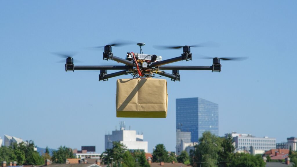
Delivery & Logistics
Faster last-mile delivery
Access to remote or emergency areas
Reduced human effort in transporting small packages
Drones bypass road traffic and terrain, reaching destinations much faster.
Lower fuel and labor costs compared to trucks or bikes.
Minimizes the need for large delivery fleets in urban areas.
Drones can help scan barcodes, count stock, and manage inventory in large warehouses.
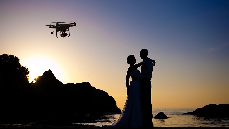
Photography & Filmmaking
Unique aerial perspectives for creative shots
Smooth, cinematic footage with gimbaled cameras.
Easily perform flyovers, tracking shots, reveals, or chase sequences.
Ideal for independent filmmakers, content creators, and small productions.
Perfect for weddings, concerts, sports, and festivals.
an fly in tight spaces or over water, cliffs, buildings, and crowds (with permits).
Great for film, documentaries, real estate, tourism, and advertising.
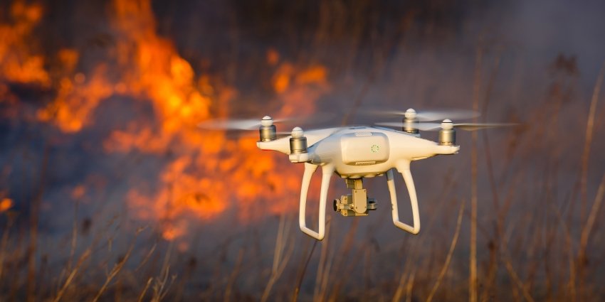
Search & Disaster Management
Locating victims in hard-to-reach areas
Assessing damage quickly and safely.
Reach places humans or vehicles can’t easily access, like collapsed buildings, mountains, or flooded zones.
Provide live video feeds and high-resolution images to rescue teams.
Survey disaster-affected areas (earthquakes, floods, fires) to assess the extent of damage.
Environmental Monitoring
Wildlife tracking and anti-poaching surveillance
Forest mapping and deforestation analysis
Air and water quality monitoring.
Track animal movements and population without disturbing their habitat.
Detect illegal logging activities or forest degradation.
Helps in early detection and prevention of contamination.
After floods, wildfires, or storms, drones assess environmental Collect data on glacial retreat, sea-level rise, or desertification.
Military & Defense
Equipped with high-resolution cameras, thermal, and radar sensors to identify and track targets accurately.
Delivery of supplies in combat zones.
Armed drones can carry missiles or bombs to strike high-value targets.
Perform dangerous missions (surveillance, bomb detection) without risking human lives.
Deliver medical supplies, ammunition, or equipment to troops in remote or hostile areas.